Call us toll free:+86-416-7300111
▌Core Function
·Route planning and monitoring:
With powerful route planning functions,crew members can quickly develop reasonable routes based on factors such as destination and ship performance,and can monitor the deviation between the ship's position and the route in real time during navigation,issue alerts in a timely manner,and ensure that the ship travels according to the planned route.
·Chart display andupdate:
Adopting high-resolution display technologyto clearly display electronic chart information,supporting multiple chart formats such as S-57,S-63,etc.At the same time,one click chart updates can be achieved through the network to ensure that crew members always use the latest chart data.
·Target monitoring and early warning:
By deeply integrating high-precision electronic charts,real-time dynamic positioning data (such as GPS signals),various sensor information of ships (such as radar and depth sounder data),and intelligent analysis algorithms,a digital management system covering the entire navigation cycle is constructed,and collision warning,anchorage monitoring and other functions are provided to help crew members discover potential dangers in a timely manner and take corresponding measures.
·Data recording and playback:
It can accurately complete the pre planning and dynamic adjustment of the route,and can also monitor the navigation process in real-time 24hours a day.It can automaticallyidentify potential hazards such as channel deviation,colision risk,and insufficient water depth and issue warnings in a timely manner.At the same time,it synchronously records key data such as navigation trajectory and equipment status,achieving a fullprocess closed-loop control from"navigation planning,real-time monitoring,risk warning to data management".
▌Technique Advantages
1.High reliability:Adopting redundant design,ithas functions such as dual machine backup and power backup,ensuring stable operation of the system even in harsh environments and guaranteeing the safety of ship navigation.
2.User friendly interface:The operation interface is simple and intuitive,easy for crew members to master and use,reducing the risk caused by operational errors.At the same time, it supports multiple languages to meet the needs of crew members of different nationalities.
3.Multi functional integration:It can seamlessly integrate with various ship equipment such as utopilot,echo sounder,navigation warning receiver(Navtex),etc.,achieving information sharing and collaborative work,and improving the comprehensive naviga- tion capability of ships.
4.Quick response:The system uses high-performance processors and advanced algorithms to quickly process large amounts of data,ensuring real-time and smooth functions such as chart display and target tracking.
▌Industry Certification
Our ECDIS products have obtained the type approval certificate from the China Classification Society (CCS)and comply with international standards such as IMO Resolution A.817(19)and IEC61174, as well as regulatory requirements of relevant flag states.They can be widely used on various types of merchant ships,warships,and other vessels.
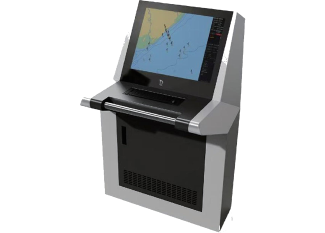
▌Product Outline Drawing

 No.2 Songshan road,Qilihe economic development zone,Jinzhou,Liaoning province,China
 +86-416-7300111 7895866
 scb@jzldhh.com
© LIAONING LIDA AUTOMATION EQUIPMENT CO.,LTD


